Telecommunication
GeoTelix & IT Solution has a proven portfolio and proficiency in delivering...
learn more

GeoTelix specializes in delivering end-to-end engineering solutions with precision, reliability, and innovation. Trusted globally, we provide customized CAD designing, drafting, and project support services tailored to meet diverse industry requirements.
Our expertise spans across Telecommunication, GIS / LiDAR / Drone Data Processing, Mechanical Engineering, Civil Architecture and BIM, Rail Signalling, Electrical, and Land Surveying sectors. Leveraging advanced infrastructure, skilled professionals, and cutting-edge technology, GeoTelix ensures high-quality, efficient, and value-driven results that align with each client’s unique goals.
We are committed to transforming complex design and engineering requirements into practical, sustainable, and innovative solutions. From planning and design to execution and optimization, GeoTelix empowers clients worldwide to achieve project success with reliability, precision, and excellence.
GeoTelix & IT Solution has a proven portfolio and proficiency in delivering...
learn moreAt Geotelix, we offer end-to-end GIS / LiDAR / Drone Data Processing...
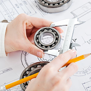
learn moreOur Mechanical Engineering Services have been extensively known to produce...
learn moreAt Geotelix, we provide comprehensive civil engineering and BIM services designed...
learn moreAt GeoTelix, we understand that Legacy Conversion is a critical component...
learn moreGeoTelix is a trusted engineering solutions company offering Telecommunication, GIS / LiDAR / Drone Data Processing, Mechanical Engineering, Civil Architecture and BIM, and Rail Signalling services. With skilled professionals and advanced digital tools, we deliver precise designs, accurate models, and reliable project support.
We focus on quality, innovation, and efficiency—ensuring smooth execution and accurate coordination across every project.

At GeoTelix, our team brings together deep technical knowledge and hands-on industry experience. Using advanced BIM, CAD, and GIS / LiDAR / Drone Data Processing platforms, we deliver precise designs, seamless coordination, and efficient project execution. We focus on accuracy, innovation, and quality—ensuring every project meets global engineering standards.

Telecom Engineering

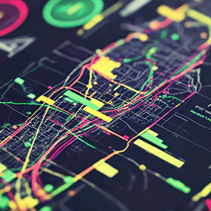
GIS / LiDAR / Drone Data Processing
Mechanical Drafting

Civil Architecture
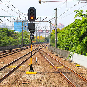
Rail Signalling
Utility Mapping

BIM Coordination

Project Documentation

Engineering Support
We begin with a detailed assessment of project requirements, drawings, site conditions, and technical specifications to understand the scope and identify key challenges.
Based on the assessment, we define clear project goals—delivery timelines, modeling standards, coordination levels, and expected outputs aligned with client expectations.
Our engineering team executes the project using advanced BIM, CAD, and GIS / LiDAR / Drone Data Processing tools—creating accurate models, drawings, and documentation with strict quality control.
We provide continuous support for updates, revisions, and coordination, ensuring smooth project progress and long-term reliability of all deliverables.
We provide Telecommunication, GIS / LiDAR / Drone Data Processing, Mechanical, Civil Architecture, Rail Signalling.
Contact us via email or phone to discuss your project requirements.
Yes, we provide services across India and globally for various projects.
All projects follow industry standards, expert review, and precision drafting.
Yes, from planning, design, drafting to execution and optimization.
Quotes are typically provided within 2–3 business days after assessment.

GeoTelix transformed our project planning with precise BIM and GIS / LiDAR / Drone Data Processing solutions. Reliable and professional!
Their Civil Architecture services helped streamline our designs efficiently. Truly impressive work!
From planning to execution, GeoTelix’s telecommunication services are top-notch and timely.
The team’s attention to detail in mechanical engineering designs made our workflow seamless.
Rail Signalling solutions provided by GeoTelix ensured accuracy and safety in every project.